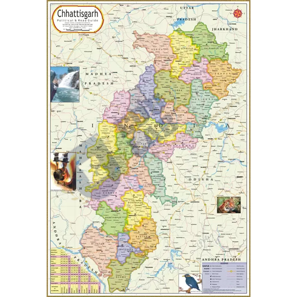
Tamil Nadu Political Map Chart Manufacturer,Supplier and Exporter in India
Product Code : EL-PSM-10161
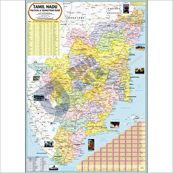
Quick Answer: The Tamil Nadu Political Map Chart is offered in English and Tamil: a 70 x 100 cm laminated political map with the latest boundaries, capital cities and important towns.
Last updated: October 2026
Key Features
Political map of Tamil Nadu.
Available in English and Tamil.
Marks the latest boundaries and political features, plus capital cities and important towns.
Printed on 80 gsm map litho paper in multicolour.
Polyester film hot-sealed to both faces.
70 x 100 cm, hung from plastic rollers.
Technical Specifications
Specification
Value
Size
70 x 100 cm
Material
Laminated paper
Paper
Map litho paper, 80 gsm
Colour
Multicolour
Lamination
Hot-seal polyester film, both sides
Rollers
Plastic, at top and bottom
Shows
Latest boundaries, political features, capital cities and important towns
Language
English and Tamil
About This Product
Tamil-medium and English-medium classes can both work from this map, since it is available in English and Tamil. It helps students place the important towns of Tamil Nadu and follow the state's boundaries during map lessons. Colleges and TVET centres in United States, Portugal, Malaysia, Guyana, Vanuatu and Palestine can source the Tamil Nadu Political Map Chart from Educational Lab Equipments.
Frequently Asked Questions
Is the Tamil Nadu Political Map Chart available in Tamil?