
Charts
Anatomical Models
Autoclave
Lab Glassware
Physics Lab Equipment
Electronics Lab
Engineering Lab Equipment
- Civil Engineering Lab Equipment
- Data Communication and Networking Equipments
- Communication System
- Microcomputer Control Equipment
- Chemical Engineering Lab Equipments
- Industrial Control Equipment
- Refrigeration and Air Conditioning Lab Equipments
- Automatic Control Lab Equipments
- Autotronics System Lab Equipments
- Automotive Cutaways Models
- Testing Instrument Lab Equipments
- Transportation Engineering Lab Equipments
- Automotive Lab Training Equipments
- Telecommunications Engineering
- Energy Training System
- Engines and Machines Models
- Mechanics Training Models
- Building Engineering Trainers
- Process Control (PLC) Trainer
- Aeronautical Engineering Trainers
- Control and Instrumentation Engineering
- Mechatronics Models
- Thermodynamics Lab Equipments
- Measurment and Control Lab
Biology Lab Equipment
Maths Lab
Chemistry Lab Equipment
Microscope
Material Testing Lab Equipment
Vocational Lab Training Equipments
TVET Lab Equipments Manufacturers
- Plumbing Workshop Instrument
- Workshop Tools
- Standard Welding Equipment Set
- Welding Equipment and Workshop Lab Machine
- Plant Engineering and Welding Equipment
- Wood Workshop Portable Tool
- Woodworking Workshop Machines
- CNC Trainer Machine
- Training Workshop Labs
- Automobile Engineering
- Theory of Machine Lab Equipments
- Concrete Laboratory
- Soil Mechanics
- Hydraulics and Pneumatics
- Metal Manufacturing Training Machine
- Washing Machine
- Textile Technology
Astronomy Lab Equipment
Chemical Lab Equipment
Educational Lab Equipment
Lab Equipment
Science Lab Equipment
Geography Lab Equipment
School Lab Equipment
Geography Charts Manufacturer, Suppliers and Exporter in India
Educational Equipments Manufacturers is leading Geography Charts Manufacturer,and supplier and Exporter in India, Algeria (Algiers), Angola (Luanda), Argentina (Buenos Aires), Armenia (Yerevan), Australia(Canberra), Austria (Vienna), Bahrain (Manama), Bangladesh (Dhaka), Bhutan (Thimphu), Bolivia (Sucre), Botswana (Gaborone), Brazil (Brasília), Brunei (Bandar Seri Begawan), Montenegro (Podgorica), Morocco (Rabat), Mozambique (Maputo), Myanmar (Naypyidaw), Namibia (Windhoek), Nepal (Kathmandu), New Zealand (Wellington), Nigeria (Abuja), Oman (Muscat), Palestine (Ramallah), Panama (Panama City), Papua New Guinea (Port Moresby), Paraguay (Asunción), Peru (Lima), Philippines (Manila)¸ Portugal (Lisbon), Qatar (Doha), Rwanda (Kigali), Saudi Arabia (Riyadh), Senegal (Dakar), Serbia (Belgrade), Sierra Leone (Freetown), Slovakia (Bratislava), South Africa (Cape Town) (Pretoria) (Bloemfontein), South Sudan (Juba), Spain (Madrid), Sri Lanka (Sri Jayawardenepura Kotte) (Colombo), Sudan (Khartoum), Syria (Damascus), Tanzania (Dodoma), Thailand (Bangkok), Togo (Lomé), Tonga (Nuku'alofa), Trinidad and Tobago (Port of Spain), Tunisia (Tunis), Turkey (Ankara), Turkmenistan (Ashgabat), Uganda (Kampala), United Arab Emirates (Abu Dhabi), United Kingdom (London), United States (Washington, D.C.)
These geography charts are wall charts printed in multicolour on 80 gsm map litho paper, laminated on both sides with hot seal polyester film and fitted with plastic rollers at top and bottom. Educational Lab Equipments lists 31 titles in two sizes: 13 at 70 x 100 cm, such as the Solar System Chart and the Map Projection Chart, and 18 at 50 x 75 cm, such as the Volcano Chart and the Latitude and Longitude Chart.
Last updated: October 2026
Geography chart titles grouped by topic
| Group | Items listed | Examples |
|---|---|---|
| Sun, Moon, planets and the Earth in space | 9 | Heavenly Bodies Chart, Phases of the Moon Chart, Spring and Neap Tides Chart |
| Earth's structure, rocks and landforms | 5 | Structure of the Earth Chart, Rocks and Minerals Chart, Earthquake Chart |
| Weather, climate and the atmosphere | 8 | Pressure and Winds Chart, Weather Map Symbols Chart, Water Cycle In Nature Chart |
| Oceans, currents and storms | 3 | Ocean Chart, Storm and Ocean Current Chart, Ocean Currents Chart |
| Maps, surveying and direction | 6 | Conventional Signs Chart, Surveying Chart, Hill Features, Contours and Map Setting Chart |
How to choose
- The 70 x 100 cm format is used for 13 titles, among them the Structure of the Earth Chart, the Pressure and Winds Chart and the Surveying Chart; the other 18 titles, including the Day and Night Chart and the Earthquake Chart, are 50 x 75 cm.
- For weather work, the Weather Instruments Chart and the Weather Map Symbols Chart pair with the Pressure and Winds Chart, which shows pressure belts, cyclones and anti-cyclones, trade winds and the July and January monsoons.
- Map skills are spread across the Conventional Signs Chart, the Map Projection Chart, the Latitude and Longitude Chart, the Directions and How to find them Chart and the Hill Features, Contours and Map Setting Chart, while the Surveying Chart shows chain tape and plane table survey with the instruments used.
- Three titles deal with the sea: the Ocean Chart (ocean-floor topography, ocean life, tsunami and coastline features), the Storm and Ocean Current Chart (tornadoes, cyclones and the formation of ocean currents) and the smaller Ocean Currents Chart.
Frequently asked questions
In which language are the charts printed?
All 18 charts at 50 x 75 cm and the Map Projection Chart are listed as English and Hindi combined. For the other 70 x 100 cm titles, check the individual chart page.
Which charts cover the Earth's interior and natural hazards?
The Structure of the Earth Chart shows the density and temperature of the Earth's shells, the behaviour of earthquake waves, and folds and faults; the Rocks and Minerals Chart covers rock types, the rock cycle and rocks related to tectonic plates; and the Earthquake Chart and Volcano Chart are separate 50 x 75 cm titles.
Which charts deal with the Moon, tides and eclipses?
The Phases of the Moon Chart, the Solar and Lunar Eclipse Chart and the Spring and Neap Tides Chart cover these at 50 x 75 cm. The larger Earth and Its Motions Chart also shows the shape and size of the Earth, day and night, the seasons and solar and lunar eclipses.
Related ranges
Related ranges: Physics Charts, Political State Maps and Genetics and Evolution Charts.
Request a quotation
For a quotation on items such as the Solar System Chart or the Weather Instruments Chart, contact Educational Lab Equipments. Educational Lab Equipments can supply and export these Geography Charts items to Timor-Leste, Poland, Georgia, Panama and Australia.
", "sku": "5", "gtin8": "5", "gtin13": "5", "gtin14": "5", "mpn": "5", "aggregateRating": { "@type": "AggregateRating", "ratingValue": "5", "bestRating": "5", "worstRating": "0", "ratingCount": "10" } }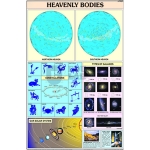
Heavenly Bodies Chart
Product Code : EL-GC-10119
70 x 100 cm laminated geography chart of the planets and their satellites, the Local Group of galaxies, zodiac constellations and star data, in English and Hindi.
Note:
View Details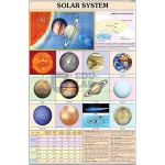
Solar System Chart
Product Code : EL-GC-10120
70 x 100 cm laminated chart of the Sun and planets by size and distances, the Milky Way, and satellites, comets and meteors, in English and Hindi.
Note:
View Details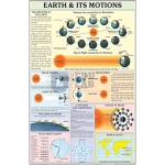
Earth and Its Motions Chart
Product Code : EL-GC-10121
70 x 100 cm laminated geography chart on the Earth's shape, size and motions: day and night, seasons, eclipses, tides, latitudes, longitudes and time zones.
Note:
View Details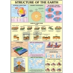
Structure of the Earth Chart
Product Code : EL-GC-10122
70 x 100 cm laminated geography chart on Earth shell density and temperature, earthquake wave behaviour, and folds and faults, in English and Hindi.
Note:
View Details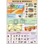
Rocks and Minerals Chart
Product Code : EL-GC-10123
70 x 100 cm laminated chart on rock types, the rock cycle, minerals, the Earth's crust and rocks related to tectonic plates, in English and Hindi.
Note:
View Details
Atmosphere and Space Chart
Product Code : EL-GC-10124
70 x 100 cm laminated chart on the layers, temperature, pressure and composition of the atmosphere, greenhouse effect and solar energy, in English and Hindi.
Note:
View Details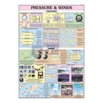
Pressure and Winds Chart
Product Code : EL-GC-10125
70 x 100 cm laminated geography chart on pressure zones and belts, air circulation, cyclones, monsoons and trade winds, in English and Hindi.
Note:
View Details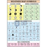
Weather Map Symbols Chart
Product Code : EL-GC-10126
70 x 100 cm laminated geography chart of weather map symbols for cloud types, weather, wind and sea conditions, in English and Hindi.
Note:
View Details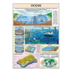
Ocean Chart
Product Code : EL-GC-10127
70 x 100 cm laminated chart of the ocean floor, the vertical distribution of ocean life, tsunamis, coastline features and ocean currents, in English and Hindi.
Note:
View Details
Surveying Chart
Product Code : EL-GC-10128
70 x 100 cm laminated geography chart on chain and tape survey and plane table survey, with the instruments and technique in diagrams, in English and Hindi.
Note:
View Details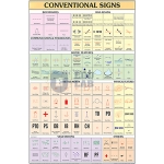
Conventional Signs Chart
Product Code : EL-GC-10129
70 x 100 cm laminated chart of conventional map signs for communications, water bodies, religious places and more, in English and Hindi.
Note:
View Details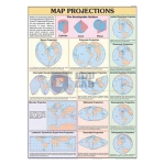
Map Projection Chart
Product Code : EL-GC-10130
70 x 100 cm geography wall chart on map projections, natural-colour print on 80 gsm map litho paper, laminated on both sides, English and Hindi.
Note:
View Details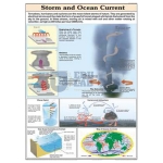
Storm and Ocean Current Chart
Product Code : EL-GC-10131
70 x 100 cm laminated chart on the formation of tornadoes, cyclones and anticyclones and of currents in the ocean, in English and Hindi.
Note:
View Details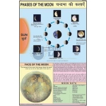
Phases of the Moon Chart
Product Code : EL-GC-10132
Laminated 50 x 75 cm wall chart on the phases of the Moon, multicolour print on 80 gsm map litho paper, plastic rollers, English and Hindi.
Note:
View Details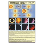
Solar and Lunar Eclipse Chart
Product Code : EL-GC-10133
50 x 75 cm laminated paper chart on solar and lunar eclipses, multicolour on map litho paper, with plastic rollers and English and Hindi text.
Note:
View Details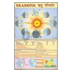
Seasons and Climate Chart
Product Code : EL-GC-10134
Geography wall chart on the seasons and climate, 50 x 75 cm in laminated paper, multicolour print, plastic rollers, English and Hindi.
Note:
View Details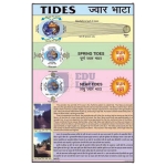
Spring and Neap Tides Chart
Product Code : EL-GC-10135
Laminated 50 x 75 cm chart on spring and neap tides, multicolour print on 80 gsm map litho paper, plastic rollers, English and Hindi.
Note:
View Details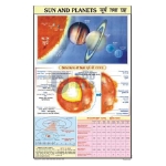
Sun and Planets Chart
Product Code : EL-GC-10136
50 x 75 cm laminated chart on the Sun and the planets, multicolour print on 80 gsm map litho paper, plastic rollers, English and Hindi.
Note:
View Details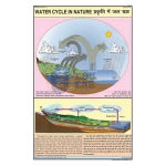
Water Cycle In Nature Chart
Product Code : EL-GC-10137
50 x 75 cm laminated paper wall chart on the water cycle in nature, printed in multicolour, with plastic rollers and English and Hindi text.
Note:
View Details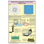
Directions and How to find them Chart
Product Code : EL-GC-10138
Laminated 50 x 75 cm geography chart on directions and how to find them, multicolour print, plastic rollers, English and Hindi.
Note:
View Details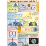
Earth is Round Chart
Product Code : EL-GC-10139
50 x 75 cm laminated geography chart on the round shape of the Earth, multicolour on map litho paper, plastic rollers, English and Hindi.
Note:
View Details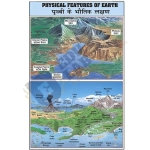
Physical Features of Earth Chart
Product Code : EL-GC-10140
Geography wall chart on the physical features of the Earth, 50 x 75 cm in laminated paper, multicolour print, plastic rollers, English and Hindi.
Note:
View Details
Day and Night Chart
Product Code : EL-GC-10141
50 x 75 cm laminated paper chart on day and night for geography lessons, multicolour print, plastic rollers, English and Hindi.
Note:
View Details
Earthquake Chart
Product Code : EL-GC-10142
Laminated 50 x 75 cm geography chart on earthquakes, multicolour on 80 gsm map litho paper, plastic rollers, English and Hindi.
Note:
View Details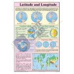
Latitude and Longitude Chart
Product Code : EL-GC-10143
50 x 75 cm laminated geography chart on latitude and longitude, multicolour on 80 gsm map litho paper, plastic rollers, English and Hindi.
Note:
View Details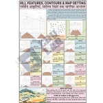
Hill Features, Contours and Map Setting Chart
Product Code : EL-GC-10144
Laminated 50 x 75 cm map-work chart on hill features, contours and map setting, multicolour print, plastic rollers, English and Hindi.
Note:
View Details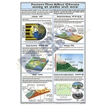
Factors that Affect Climate Chart
Product Code : EL-GC-10145
50 x 75 cm laminated paper chart on the factors that affect climate, multicolour print, plastic rollers, English and Hindi text.
Note:
View Details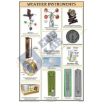
Weather Instruments Chart
Product Code : EL-GC-10146
Laminated 50 x 75 cm chart on weather instruments for geography lessons, multicolour print, plastic rollers, English and Hindi.
Note:
View Details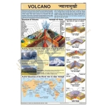
Volcano Chart
Product Code : EL-GC-10147
50 x 75 cm laminated paper chart on volcanoes, multicolour print on 80 gsm map litho paper, plastic rollers, English and Hindi text.
Note:
View Details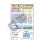
Ocean Currents Chart
Product Code : EL-GC-10148
Laminated 50 x 75 cm chart on ocean currents, multicolour on 80 gsm map litho paper, plastic rollers top and bottom, English and Hindi.
Note:
View Details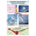
Sunlight and Rainbow Chart
Product Code : EL-GC-10149
50 x 75 cm laminated paper chart on sunlight and the rainbow, multicolour print, plastic rollers, English and Hindi.
Note:
View Details